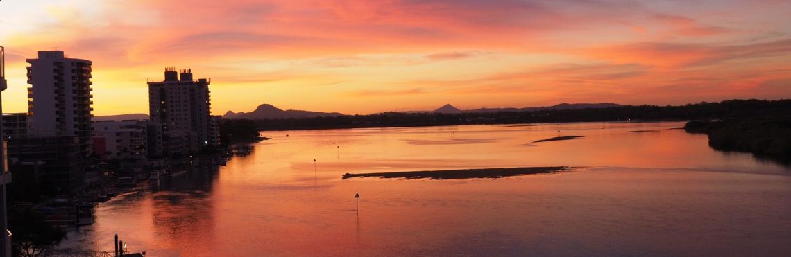
Our last week on the Costa Brava saw us venturing further afield and heading inland, north west of Girona, to visit the Parc Natural de la Zona Volcànica de la Garrotxa. This park contains 40 volcanic cones, 20 basalt lava flows and numerous small medieval villages.
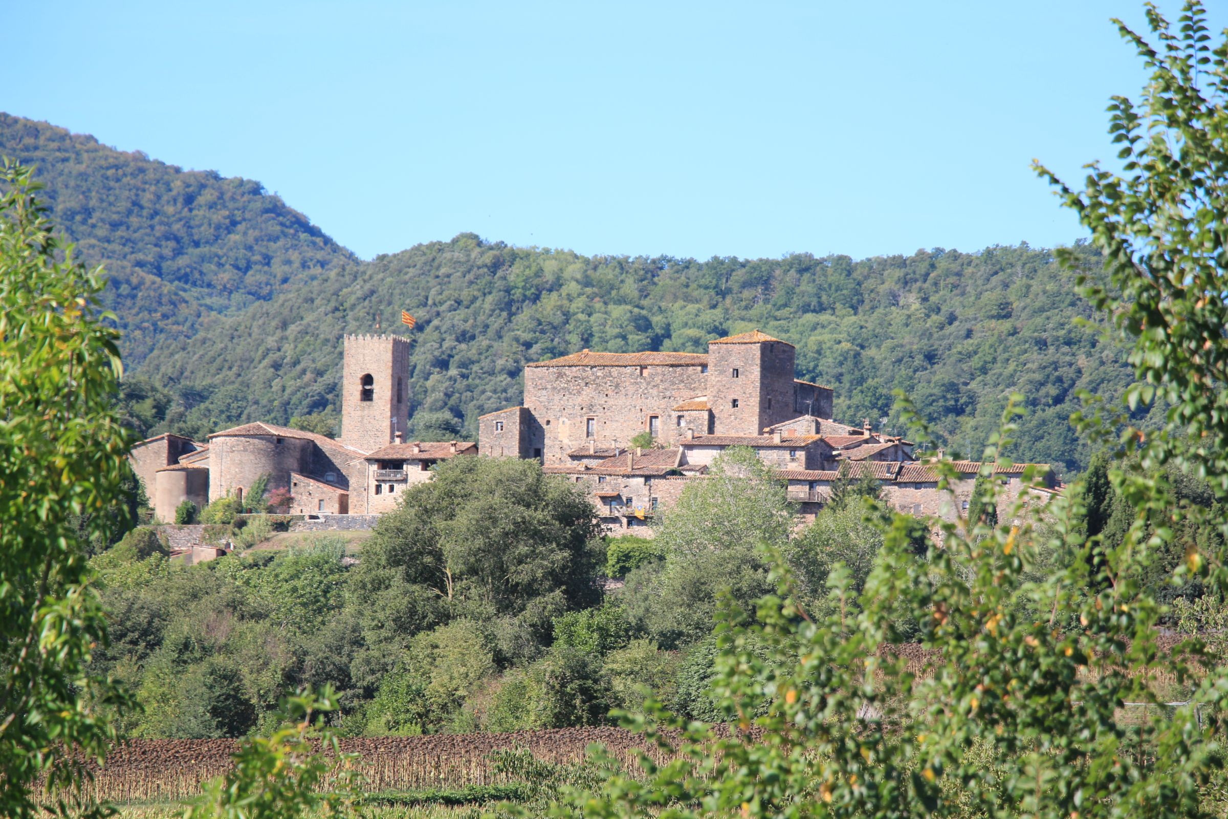
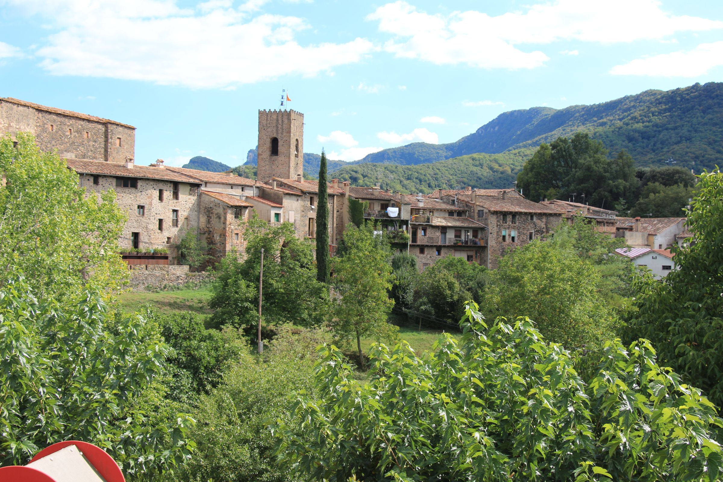
Another glorious day greeted us as we drove to Santa Pau – a small, picturesque village on the eastern edge of the park. We wandered around the medieval streets that radiate around the 13th century ‘centre’ of town, the Placa Major. Dominating the square is the Romanesque church of Santa Maria as well as the original castle.


The village was extremely quiet save for the odd local resident going about their daily business. We were thankful it was no longer tourist season as we were able to really enjoy the ambience of the village without the tourist hordes.


There are numerous walks into and around the Volcanic Park from Santa Pau and there are some great views and vistas from various points around the village. To save time we drove the 2.5 kilometres from Santa Pau to the starting point for walks to Volca del Croscat and Volca Santa Margarida.
Volca del Croscat
It was a fairly flat walk (20 minutes) to get here with a short uphill section. Just before you get to the cone there is a small information centre and display area that provides useful details on the history of the volcano and the quarrying that occurred here.
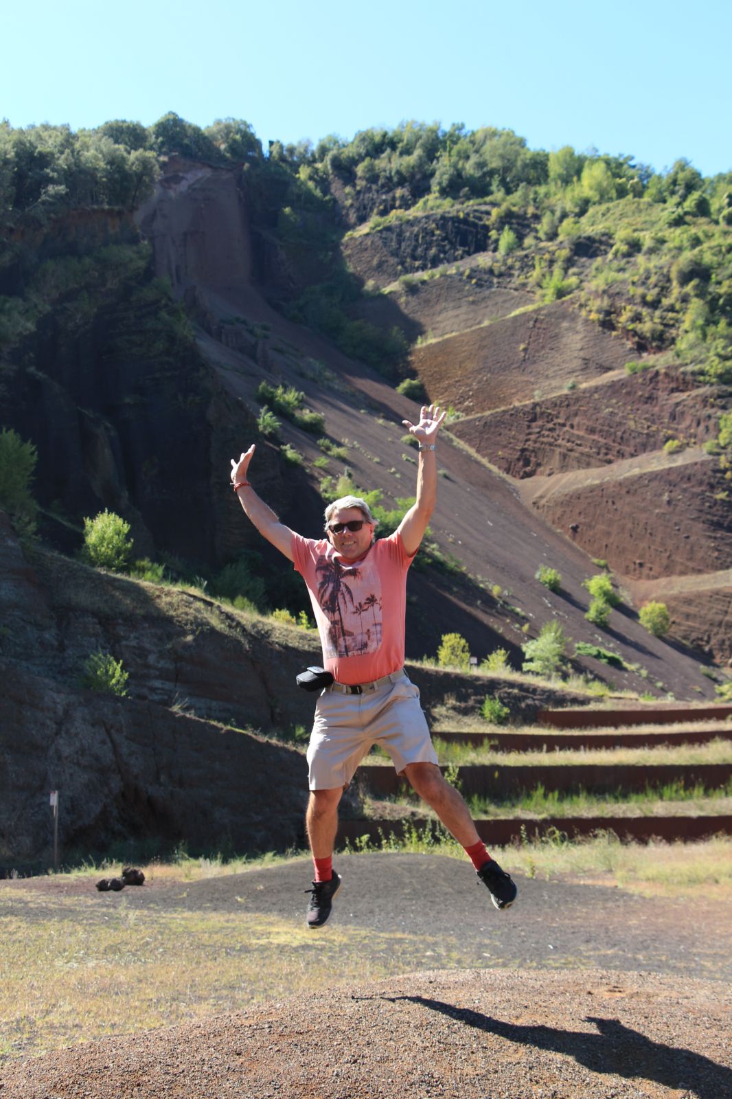
The youngest of the volcanoes is the Volca del Croscat which erupted 11,500 years ago!! It’s cone was quarried from the 60’s to late 80’s (to provide the surfaces for tennis courts and running tracks) but was restored in 1995 to minimise the impact of the quarry on the landscape, prevent further erosion and guarantee public access for educational purposes. As a result of the quarrying you now get a unique view of the geology and structure of a volcanic cone. If the cone was a cake it’s like a slice has been removed and you can see the cross-section.

Volca Santa Margarida
This is a more ‘traditional’ volcanic cone and the walk to the top of the crater was pretty strenuous. The saving grace is that the path is well shaded by the forest that has covered the cone. If doing this in the height of summer then you will definitely need to take sufficient water.
Our research showed that there was an old church inside the crater but on arrival at the top of the path on the edge of the crater the view down into it was obscured by all the trees. There was a path down into the crater but I wanted to see it from above. I convinced Jacqueline that we should explore a bit further and found a track (well a gap in the trees). A little ways along we were presented with the view below – not particularly inspiring.

Still not happy with the view I pressed on through the beech forest (with Jacqueline mumbling in the background) determined to get a fabulous vista down into the crater. This was not to be – we ended up circumnavigating the entire crater back to our start point with no other view inside the crater to be found.
We made our way down the ‘proper’ path into the crater and had a look at the church (which was unfortunately locked). It was destroyed in the 1428 earthquake and rebuilt in 1865.
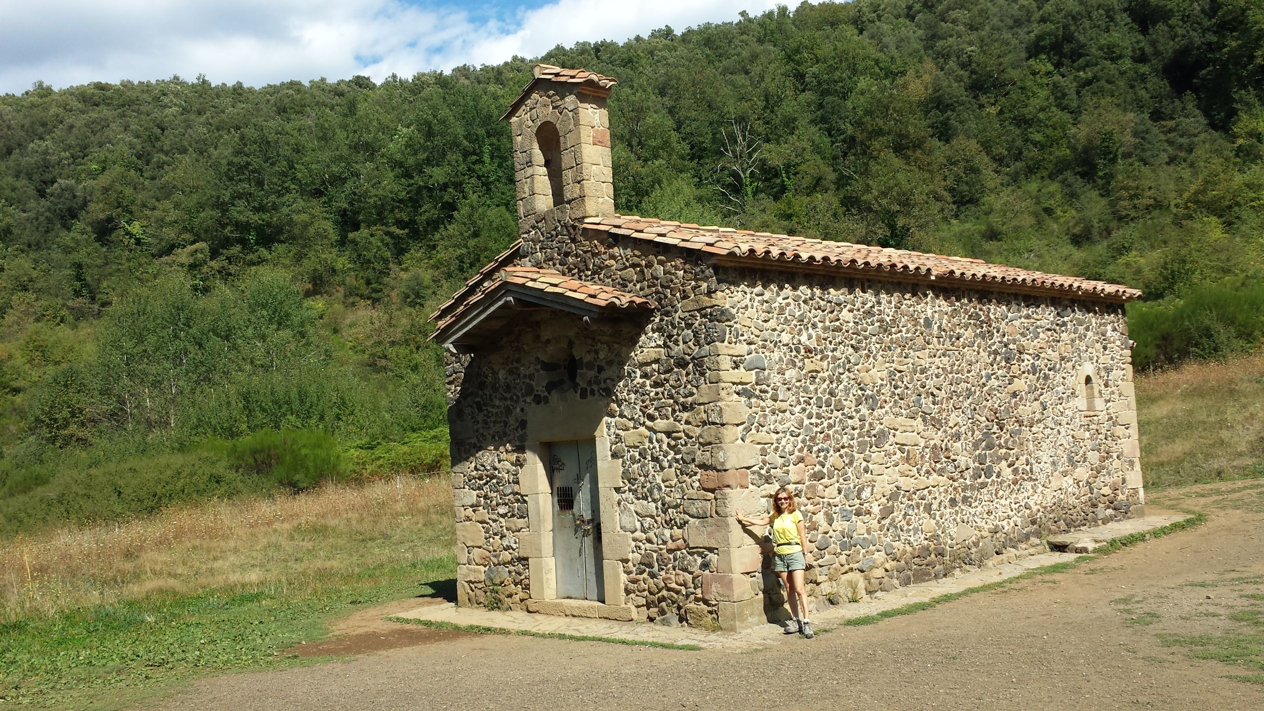
For those interested in stats – the crater is 350 metres wide and about 80 meters deep. The perimeter of the base is 2 kilometres and it is 682 metres high.
Here is an ariel photo from Wikipedia that gives a much better perspective of the site.
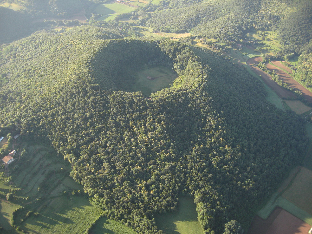
Photo by Carquinyol from Badalona, Catalunya – Volcà de Santa Margarida, CC BY-SA 2.0, https://commons.wikimedia.org/w/index.php?curid=4425454
A day or two later we visited some beautiful Catalonian medieval villages. That day trip will be basis for my next blog entry in the next day or two. Until then….

2 Comments